


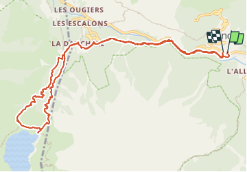

22 km | 47 km-effort

User GUIDE


FREE GPS app for hiking
 SityTrail
IGN / Geographical institutes
SityTrail World
The world is yours!
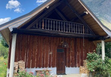
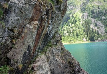
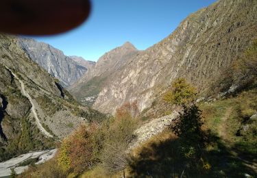
Trail Walking of 13.8 km to be discovered at Auvergne-Rhône-Alpes, Isère, Les Deux Alpes. This trail is proposed by nadinebondoux.
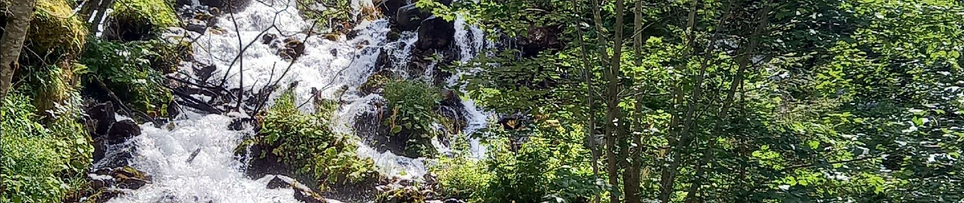
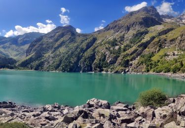
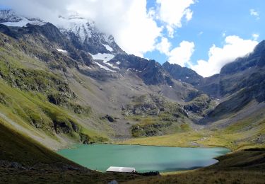
Chemins ombragés, très beau lac avec baignade possible,à eviter les week-end d'été car beaucoup de monde


Walking

Walking
Walking
Walking
Walking
Walking

Walking

Walking

Walking